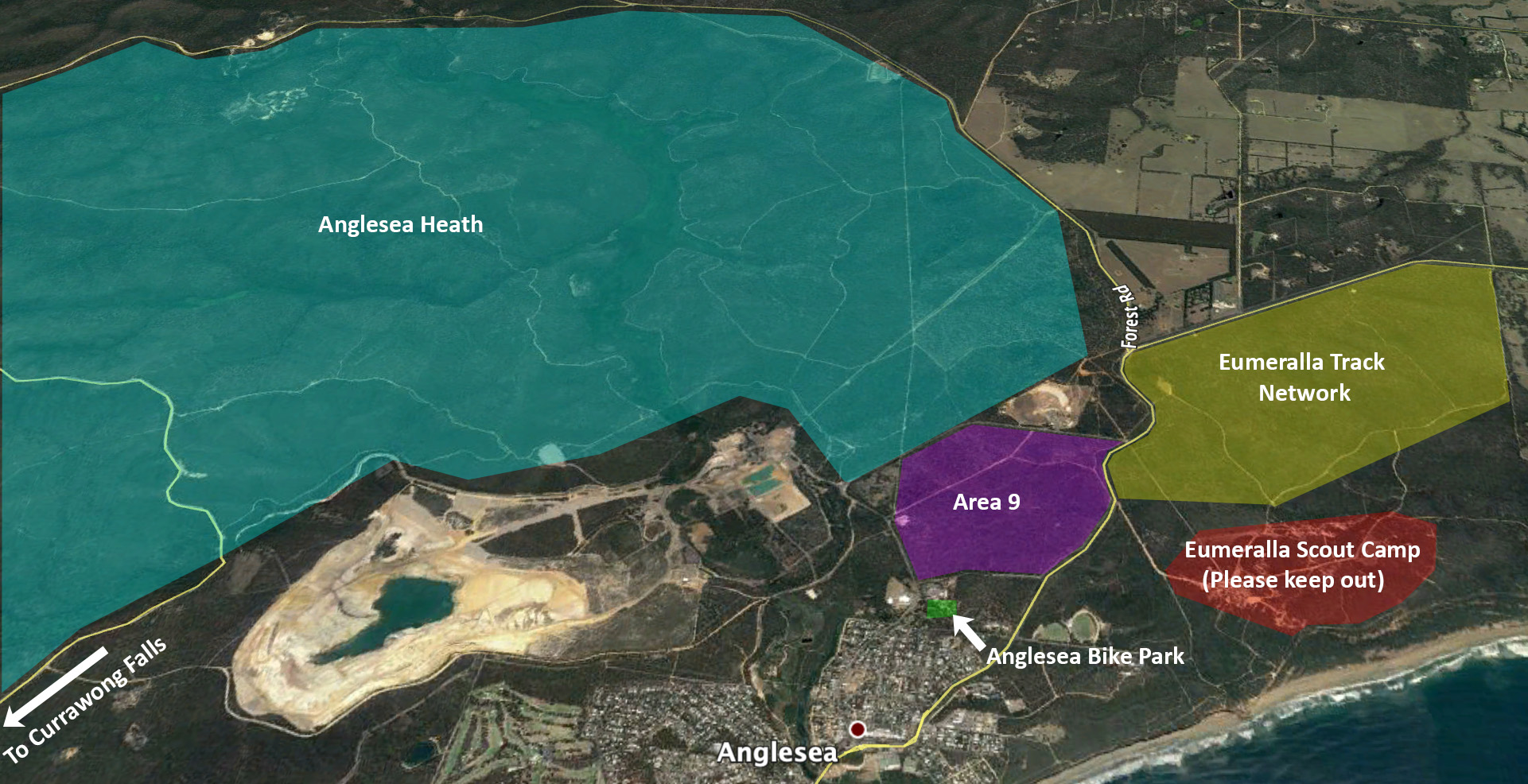
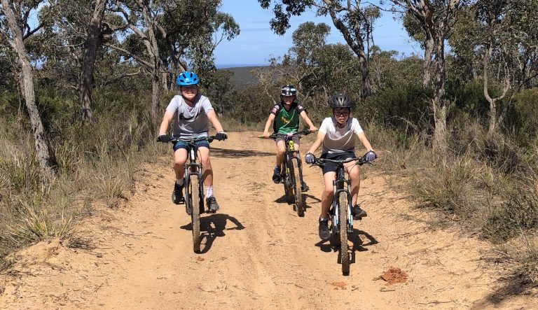
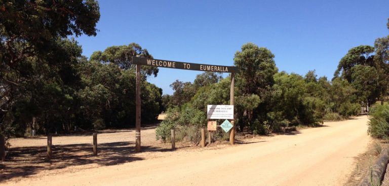

This is a fun 5.6km loop around the boundary of the Eumeralla Scout Camp that incorporates the super fun and flowy red rocks descent when ridden anti-clockwise. The route can be found on Strava HERE. This loop can be ridden in both directions. Keep an eye out for small signs showing the way at a number of points but not all. There are also adjacent tracks that many riders use to extend the loop.
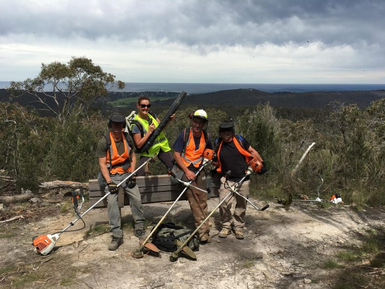
Please avoid exploring inside of this loop the houses the Eumeralla Scout Camp. You will find signs or fences at most points of entry asking the public to keep out. Often there are large groups in the scout camp including children’s groups. There really aren’t any tracks worth riding within the camp anyway!